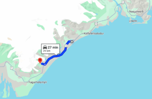
Driving to Múlagljúfur from the east, you take a right turn on a gravel road, and drive over one river stream, until you reach the parking lot. The path is accessible for every car, though we recommend a 4×4. Make sure to check the water level in the stream before crossing.
Generally, people take around 2-3 hours exploring Múlagljúfur Canyon. The main path is around 7,6 km round-trip with a 320m elevation, even though many turn back at the viewpoint of Hangandifoss.
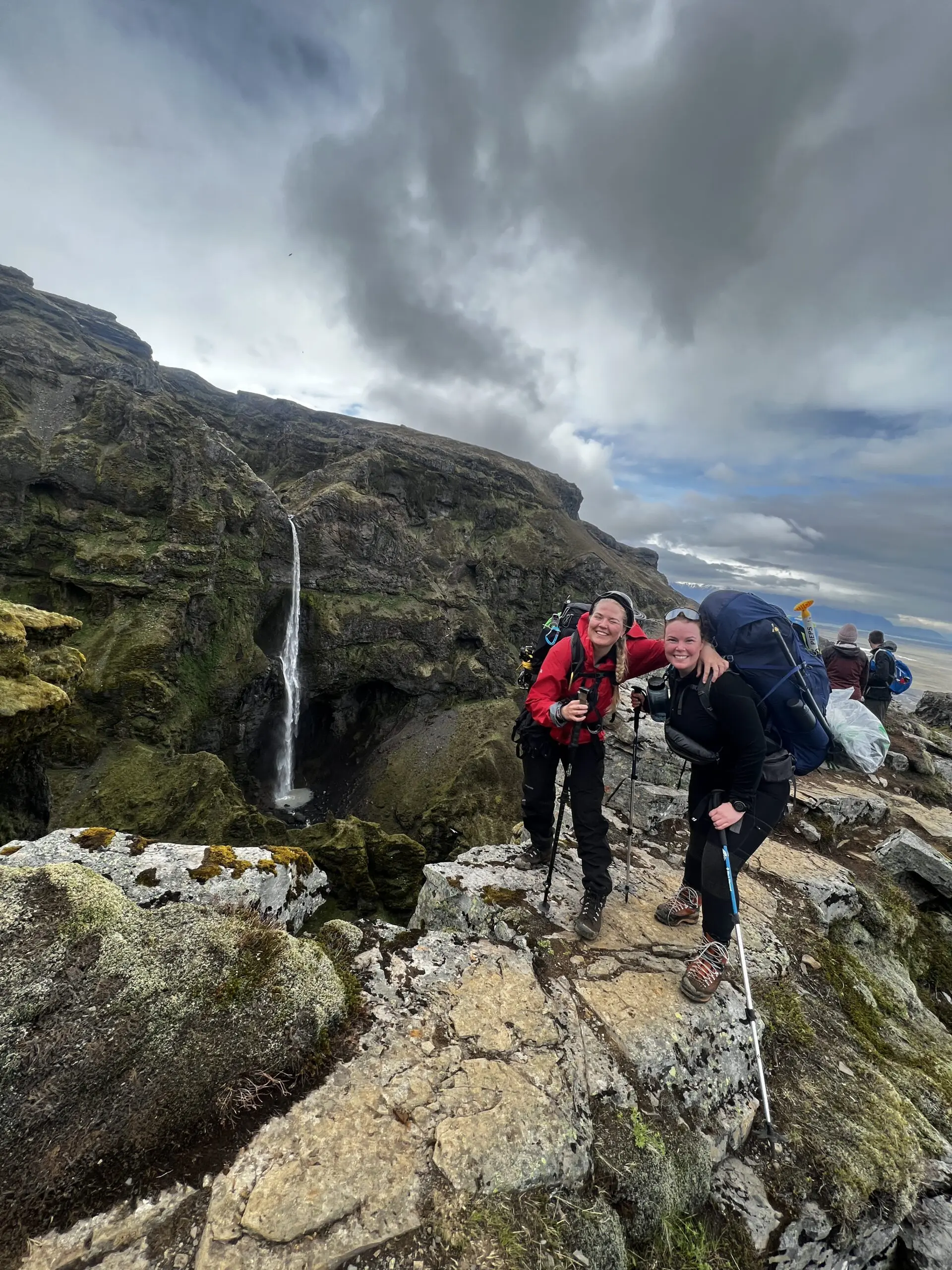
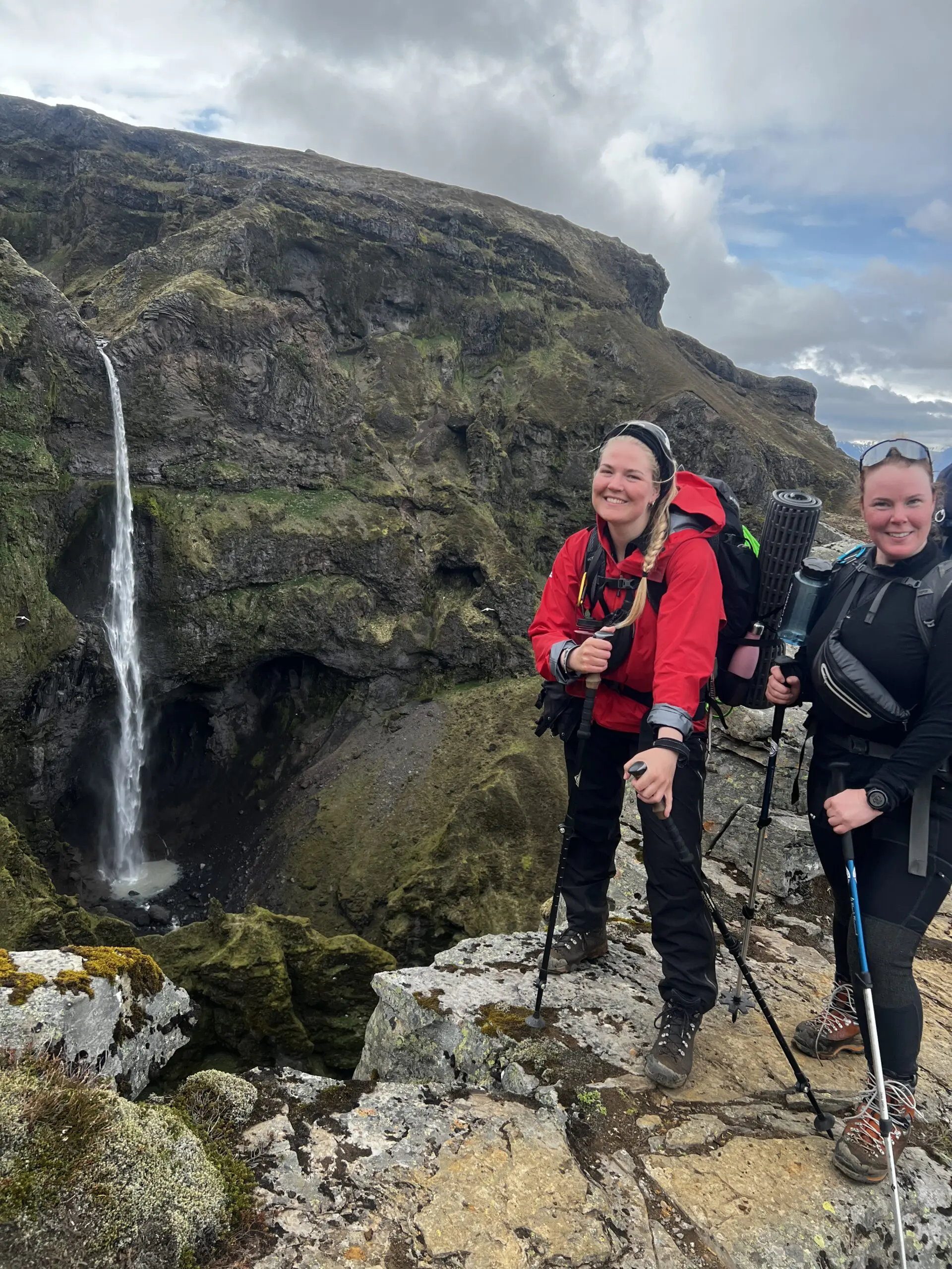
The trail from the parking lot is marked, and while the first part has wooden posts to walk on, is also the most challenging part of the hike. After passing that segment, you will see the first waterfall, Hangandifoss. This is the ending point of the shorter hike, and where you can decide if you want to continue.
Hangandifoss, the first waterfall on the path, is nearly 130 meters, one of the highest in Iceland. Further, at the end of the canyon, is Múlafoss which is fed by the glacial meltwater of Öræfajökull and sits on Rótarfjallsá River. This waterfall measures around 101 meters from top to bottom, and the visible drop is about 53 meters.
The best time to visit Múlagljúfur is late April to early October. In autumn, the rain can make the trails slippery and muddy. In winter, the trail is not safe to navigate due to ice and snow. As always, we recommend checking the weather forecast throughout all seasons.